
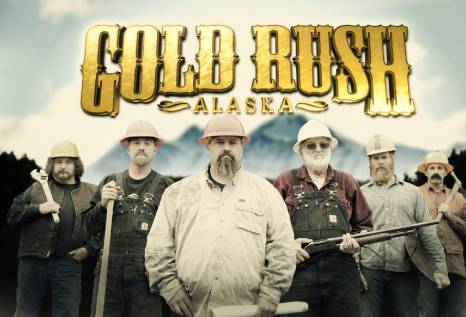
Anyone following the Discovery Channel's Gold Rush-Alaska ?
![Image]()
Totally aside from the debates on the merits or lack thereof regarding the story line of this program,
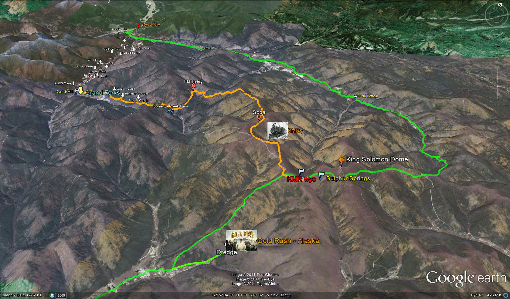
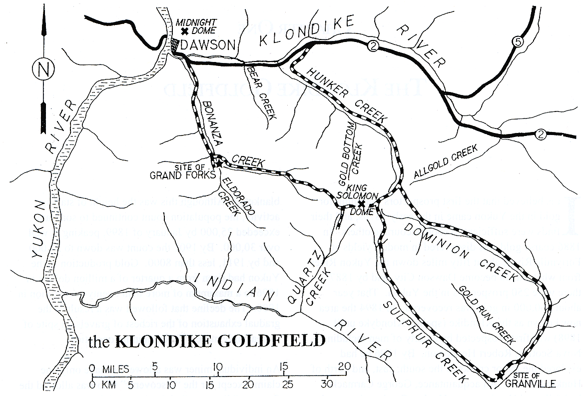
what is of particular interest to me is that the Quartz Creek claims in the Yukon Territory,
some 45 miles SE of Dawson City are located very close to Sulphur Springs, the end of the line
for the abandoned railroad grade that was once the Klondike Mines Railway.
I wrote about the KMR extensively in an earlier thread.
Totally aside from the debates on the merits or lack thereof regarding the story line of this program,
what is of particular interest to me is that the Quartz Creek claims in the Yukon Territory,
some 45 miles SE of Dawson City are located very close to Sulphur Springs, the end of the line
for the abandoned railroad grade that was once the Klondike Mines Railway.
I wrote about the KMR extensively in an earlier thread.